Whose is Kursk? Professor Grytsenko demonstrated a 150-year-old Russian map.
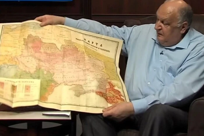
The Director of the Institute of the Ukrainian Language, Professor Pavlo Grytsenko, showed a map on which it is clear that Kursk, Belgorod, Kuban, and Voronezh are Ukrainian lands. He said this in an interview for Idealist.media.
Grytsenko showed a map from 1871, on which the borders between Ukrainian-speaking and Russian-speaking territories are built. Beyond these borders, Voronezh, Kursk, Belgorod, and Kuban are considered Ukrainian lands, and this applies not only to the areas closer to the Sea of Azov but also far to the east.
According to Grytsenko, this map was compiled by order of the Russian Imperial Geographical Society and corresponds to objective reality. It was accepted by the Russian Imperial Academy of Sciences.
So whose is Kursk? Professor Pavlo Grytsenko demonstrated a 150-year-old Russian map.
It should be reminded that during the operation in Kursk, Ukrainian soldiers met a local resident who survived the Holodomor and the Second World War and despises the Russian government, supporting the actions of the AFU (Armed Forces of Ukraine). The conversation with her was published on the Telegram channel Khorne Group.
Ukrainian soldiers met a local resident in Kursk who survived the Holodomor and the Second World War and despises the Russian government, supporting the actions of the AFU. The conversation with her was published on the Telegram channel Khorne Group.
Read also
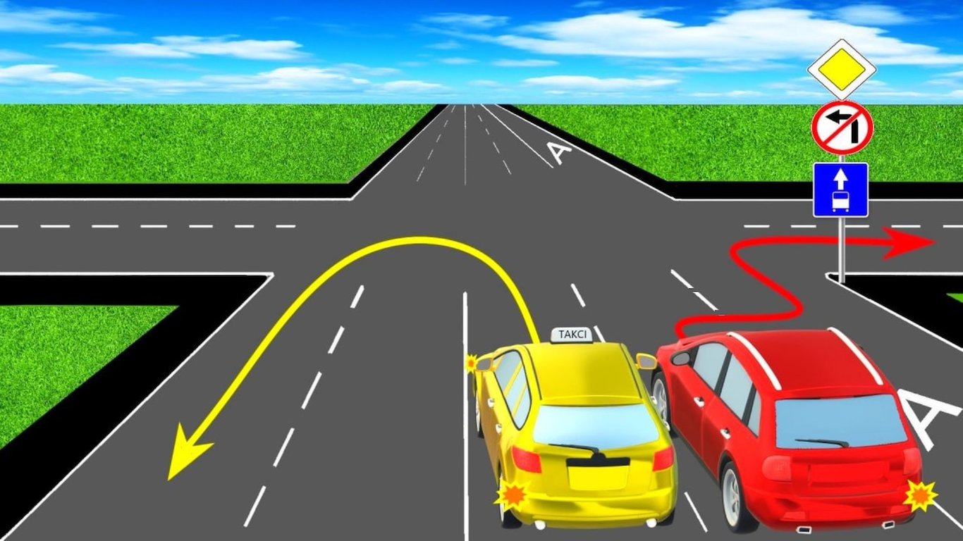
- Test of Traffic Rules — Who of the Drivers Can Execute the Intended Maneuver
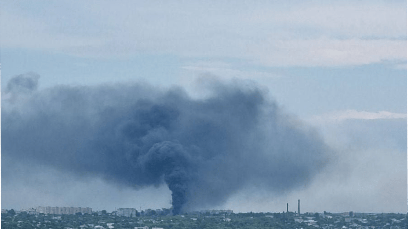
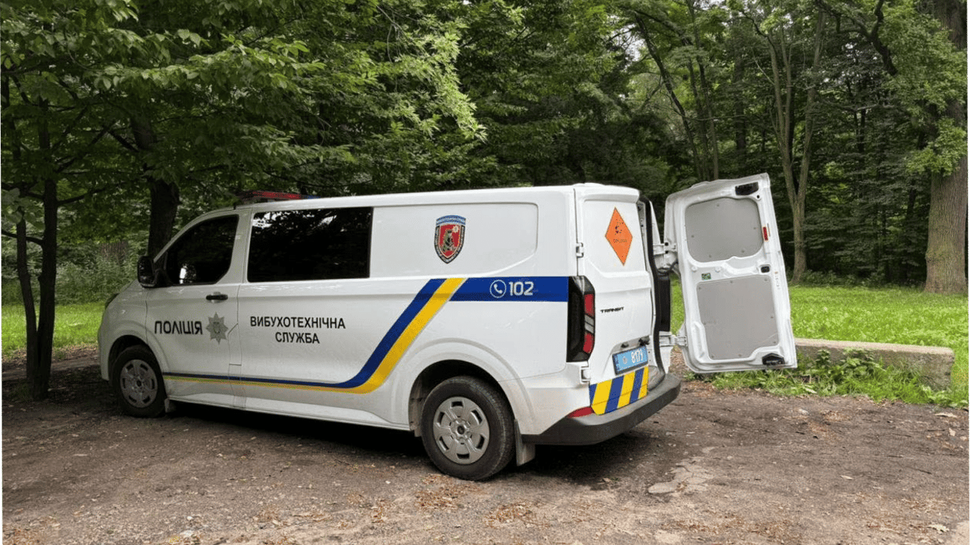
- Explosions occurred in Poltava
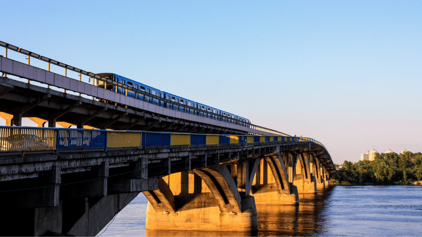
- In Kyiv, the scheduled repair of the Metro Bridge has been postponed due to bad weather
- Death of a mobilized individual after beating in Kyiv - the DBR has taken on the case
- An explosion occurred in Kyiv — police explained what happened
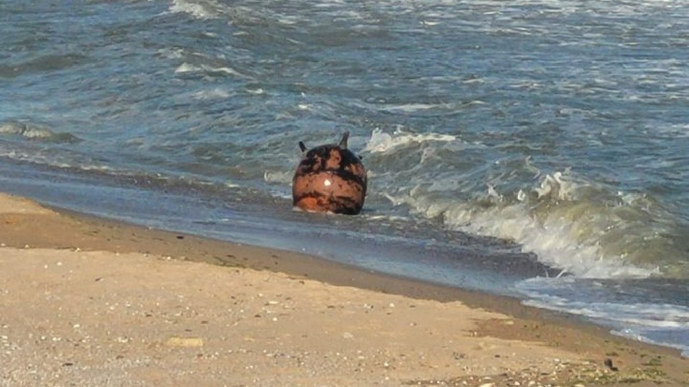
- Dangerous Sea - When Swimming, Be Sure to Look in All Directions